
Mountain range Bauges | Elevation 1,538 m Parent range Bauges | |
 | ||
Similar Nivolet, Semnoz, Dent du Chat, Mont du Chat, Mont Margériaz | ||
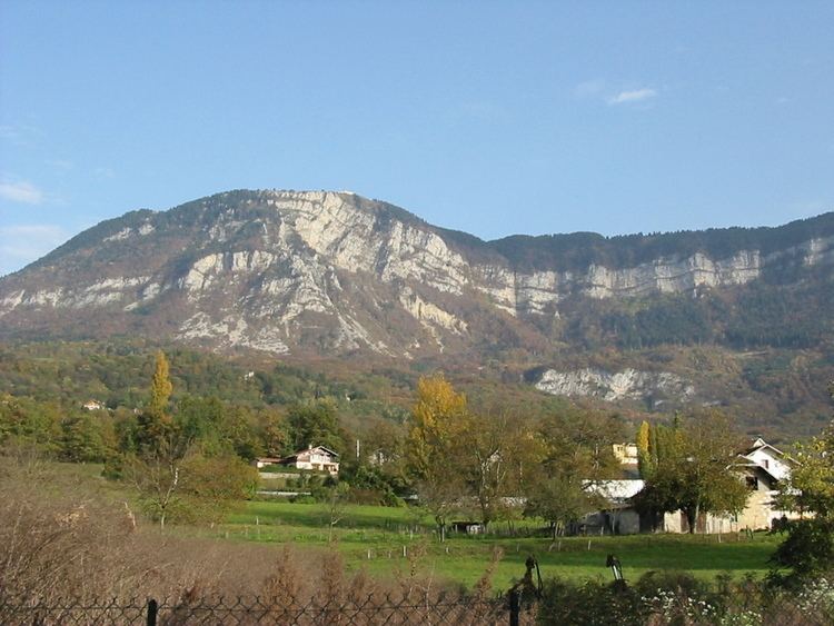
Mont Revard (1,562 m (5,125 ft)) is a mountain in the Bauges Massif near Aix-les-Bains in Savoie, France. The mountain is crossed by the D913 road between the villages of Saint-Jean-d'Arvey and Pugny-Chatenod near Aix-les-Bains. The ski resort of Le Revard is situated on the northern edge of the mountain at an elevation of 1,537 m (5,043 ft).
Contents
Map of Mont Revard, 73230 Les D%C3%A9serts, France
The summit on the D913 is at an elevation of 1,463 m (4,800 ft) and was crossed on the penultimate stage of the 2013 Tour de France (Stage 20). The Tour de France had crossed the pass twice previously and has had a stage finish twice on the summit.
Details of the climbEdit
In 2013, the climb used by the Tour de France commences at Saint-Jean-d'Arvey and climbs 866 m (2,841 ft) in 15.9 km (9.9 mi) at an average gradient of 5.6%, and is ranked a Category 1 climb.
From Aix-les-Bains, the climb to the ski resort at Le Revard via the D913 is 21.4 km (13.3 mi) long, climbing 1,277 m (4,190 ft) at an average gradient of 6%. From Chambery, the climb via the D912/D913 is 25.0 km (15.5 mi) long with 1,267 m (4,157 ft) height gained at an average of 5.1%.
Tour de FranceEdit
The mountain was crossed in 1991, when the altitude was shown as 1,418 m (4,652 ft) and again in 1998, when the altitude was shown as 1,448 m (4,751 ft). The latter stage was neutralized in the wake of the 1998 Festina affair.
In 1965 and 1972, the ski resort of Le Revard was used as a stage finish with the finishing line being situated at 1,500 m (4,921 ft). The 1965 stage was a mountain time trial won by Felice Gimondi.