Neha Patil (Editor)

Mont Cauvaire

Updated on
Edit
Like
Comment
Share on FacebookTweet on TwitterShare on LinkedInShare on Reddit
Country
  
Department
  
Canton
  
Clères

Area
  
9.02 km²

Region
  
Normandy

Arrondissement
  
Population (2006)
  
614

Local time
  
Friday 10:02 PM

Mont-Cauvaire mw2googlecommwpanoramiophotosmedium69030924jpg

Weather
  
7°C, Wind W at 24 km/h, 76% Humidity

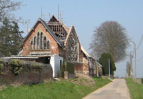
Mont-Cauvaire is a commune in the Seine-Maritime department in the Haute-Normandie region in northern France.

Contents

Map of 76690 Mont-Cauvaire, France

Geography

A farming village, situated along the banks of the Cailly River in the Pays de Caux, some 10 miles (16 km) north of Rouen on the D3 road.

Places of interest

  • The church of St.Martin, dating from the nineteenth century.
  • A sixteenth century sandstone cross.
  • The seventeenth century Château du Rombosc, with its chapel, and parkland.
  • The Château du Fossé, dating from the seventeenth century.
  • The eighteenth century Pavillon de La Tourelle and its parkland.
  • Two dovecotes and a communal oven.
  • References

    Mont-Cauvaire Wikipedia


    Similar Topics