
Location Haute-Savoie, France Prominence 602 m Parent peak Dents du Midi | Elevation 3,096 m First ascent 20 September 1770 Parent range Chablais Alps | |
 | ||
Easiest route The mountain is easily climbed from the Chamonix valley. There is a chalet en-route, which sells refreshments during the summer months. The main obstacles are a boulder field and a short ice field. Carrying an ice axe is recommended here in case of a slip, although I found crampons unnecessary. The top is likely to be snow-covered, even in summer, but one is rewarded by a splendid view of Mt. Blanc just across the valley, and of the Alps of Haute Savoie. Mountain range Giffre massif, Chablais Alps Similar Grenier de Commune, Le Brévent, Aiguille Verte, Le Cheval Blanc, Mont Ruan | ||
Mont buet 3096m vallorcine
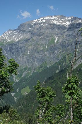
The Mont Buet (3,096 m) is a mountain of the Chablais Alps in Haute-Savoie, France.
Contents
- Mont buet 3096m vallorcine
- Map of Mont Buet 74740 Sixt Fer C3A0 Cheval France
- We ascension du mont buet version courte
- References
Map of Mont Buet, 74740 Sixt-Fer-%C3%A0-Cheval, France
We ascension du mont buet version courte
References
Mont Buet Wikipedia(Text) CC BY-SA