Local time Friday 10:02 PM | Area 11.4 km² | |
 | ||
Intercommunality Communauté de communes Artois-Lys Weather 8°C, Wind SW at 32 km/h, 80% Humidity | ||
Mont-Bernanchon is a commune in the Pas-de-Calais department in the Hauts-de-France region of France.
Contents
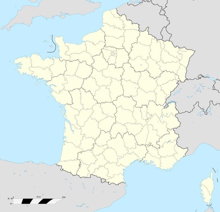
Map of 62350 Mont-Bernanchon, France
Geography
Mont-Bernanchon situated some 5 miles (8.0 km) north of Béthune and 27 miles (43.5 km) west of Lille, at the junction of the D937 and D184 roads. Both the Clarence River and the Canal d’Aire flow by the commune, which covers a large area of forests and lakes.
Places of interest
References
Mont-Bernanchon Wikipedia(Text) CC BY-SA
