
Frazioni Sant'Elpidio Morico Demonym(s) Monsampietrini Area 9.6 km² Postal code 63029 | Elevation 289 m (948 ft) Time zone CET (UTC+1) Local time Thursday 7:04 PM Dialling code 0734 | |
 | ||
Weather 12°C, Wind SE at 5 km/h, 62% Humidity | ||
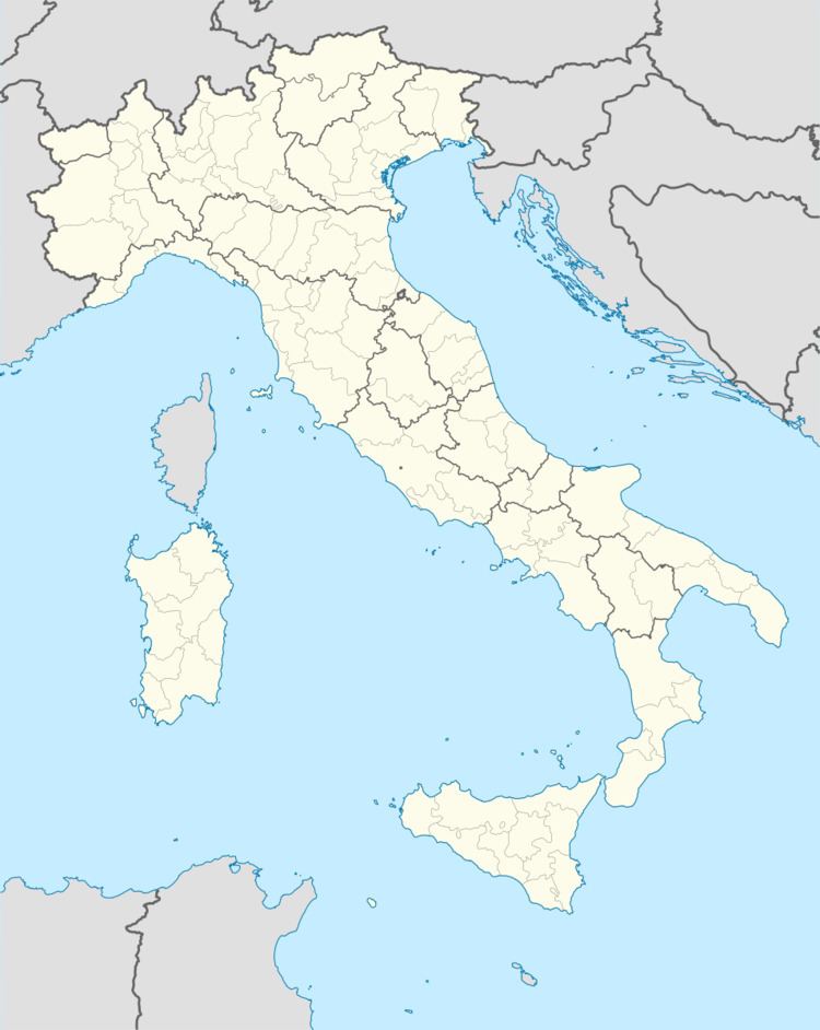
Monsampietro Morico is a comune (municipality) in the Province of Fermo in the Italian region Marche, located about 70 kilometres (43 mi) south of Ancona, about 35 kilometres (22 mi) north of Ascoli Piceno and 20 kilometres (12 mi) of Fermo. It was founded in 1061 as a castle (rebuilt in the 15th century) under a Norman count from Apulia. Later it was part of the de Varano seigniory and, from 1415 to 1416, of Carlo Malatesta's lands. It is also home to a 13th-century Romanesque church, dedicated to St. Paul.
Map of 63842 Monsampietro Morico Province of Fermo, Italy
Monsampietro Morico borders the following municipalities: Belmonte Piceno, Monte Rinaldo, Monteleone di Fermo, Montelparo, Montottone.
References
Monsampietro Morico Wikipedia(Text) CC BY-SA