
Country United States ZIP codes 51639, 51645, 51649 Elevation 339 m Local time Thursday 12:27 PM | Time zone CST (UTC-6) GNIS feature ID 0468393 Area 93.03 km² Population 230 (2010) | |
 | ||
Weather 12°C, Wind S at 29 km/h, 44% Humidity | ||
Monroe Township is one of thirteen townships in Fremont County, Iowa, United States. As of the 2010 census, its population was 230 and it contained 99 housing units.
Contents
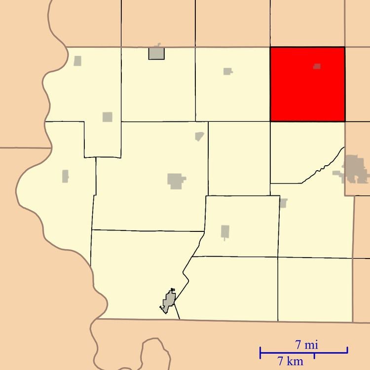
- Map of Monroe IA USA
- History
- Geography
- Cities towns villages
- Cemeteries
- Transportation
- School districts
- Political districts
- References
Map of Monroe, IA, USA
History
Monroe Township was organized in 1855.
Geography
As of the 2010 census, Monroe Township covered an area of 35.92 square miles (93.0 km2), all land.
Cities, towns, villages
Cemeteries
The township contains Monroe Cemetery and Mount Calvary Cemetery.
Transportation
School districts
Political districts
References
Monroe Township, Fremont County, Iowa Wikipedia(Text) CC BY-SA