
Summit depth 132 metres (433 ft) Elevation -132 m | Country New Zealand Last eruption 2006 | |
 | ||
Location North of the Kermadec Islands; south of Tonga Similar Havre Seamount, Brothers Volcano, Macauley Island, Northwest Rota, Vailulu'u | ||
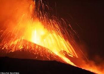
Monowai is a volcanic seamount to the north of New Zealand. It is one of the most active volcanoes in the Kermadec volcanic arc and has erupted many times since 1977.
Contents
Map of Monowai Seamount
Description
The summit of Monowai is approximately 132 metres (433 ft) below sea level, considerably above the level of the nearby Tonga and Kermadec Trenches. The summit's position and depth changed between 1998 and 2004, due to a landslide and eruptive regrowth. A 1,500 metres (4,900 ft) deep caldera, 13 by 8 km (8.1 by 5.0 mi), lies 5 to 15 km (3.1–9.3 mi) NNE of the seamount's main cone.
Monowai was discovered by an aerial survey in 1944. Subsequent surveys showed evidence of significant change - sea discolouration and seismic activity. Studies between 1978 and 2007 showed the summit repeatedly rising and falling.
2010s
Sonar data from the research ship R/V Sonne showed that between May 14 and June 1–2, 2011 the summit collapsed by as much as 18.8 m (62 ft) and lava flows had raised another area by 79.1 m (260 ft). Additionally a new volcanic cone was created. The R/V Sonne also observed the sea to be a yellowy-green with gas bubbles. Researchers believe that only Vesuvius and Mount St Helens have recorded larger growth rates.
In August 2012, a 25,000 km2 (9,700 sq mi) floating raft of pumice was found offshore from New Zealand. It was initially believed to be from Monowai, but Monowai was later ruled out as a possible source.