
Time zone ChST (UTC+10) Local time Thursday 5:17 PM | Population 6,825 (2010) | |
 | ||
Weather 28°C, Wind N at 18 km/h, 72% Humidity | ||
Mongmong-Toto-Maite (Chamorro: Mong Mong-Totu-Maiti) is a municipality in the United States territory of Guam composed of three separate villages east of Hagåtña that experienced development after the Second World War.
Contents
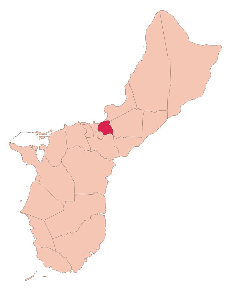
Map of Mongmong-Toto-Maite, Guam
Mongmong is adjacent to the Hagåtña Swamp; Toto is situated to the north-east near Barrigada; Maite is located on the cliffs overlooking Agana Bay and the Philippine Sea. The village's population has increased slightly following the island's 2000 census.
Education
Guam Public School System serves the island.
George Washington High School in Mangilao serves the village.
Populated places
Mayor of Mongmong-Toto-Maite
References
Mongmong-Toto-Maite, Guam Wikipedia(Text) CC BY-SA