
Country United States Time zone CST (UTC-6) Elevation 201 m Local time Wednesday 9:26 PM | Established March 2, 1870 ZIP codes 60929, 60946 Area 93.73 km² Population 334 (2010) | |
 | ||
Weather -3°C, Wind W at 10 km/h, 62% Humidity | ||
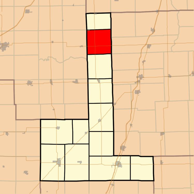
Mona Township is one of twelve townships in Ford County, Illinois, USA. As of the 2010 census, its population was 334 and it contained 152 housing units. The township was formed as Delhi Township from a portion of Rogers Township on March 2, 1870; its name was changed to Mona Township on June 16, 1870.
Contents
- Map of Mona Township IL USA
- Geography
- Cities towns villages
- Cemeteries
- Major highways
- School districts
- Political districts
- References
Map of Mona Township, IL, USA
Geography
According to the 2010 census, the township has a total area of 36.19 square miles (93.7 km2), all land.
Cities, towns, villages
Cemeteries
The township contains Mona Township Cemetery.
Major highways
School districts
Political districts
References
Mona Township, Ford County, Illinois Wikipedia(Text) CC BY-SA