
Intercommunality Sud-Ouest Amiénois Area 22.8 km² | Canton Molliens-Dreuil Population (2006) 869 Local time Thursday 12:10 AM | |
 | ||
Weather 7°C, Wind W at 2 km/h, 93% Humidity | ||
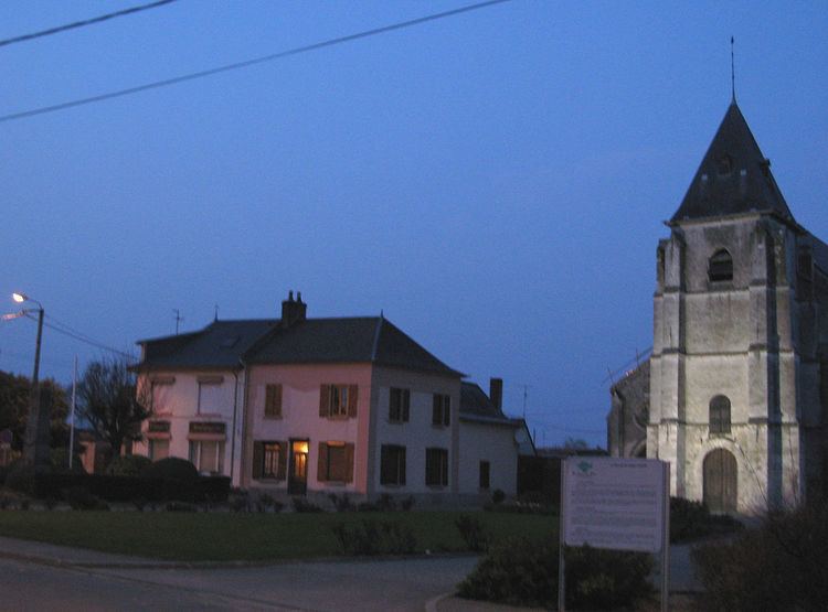
Molliens-Dreuil is a commune in the Somme department in Hauts-de-France in northern France.
Contents
Map of 80540 Molliens-Dreuil, France
Geography
The commune is situated on the D211 and D69 roads, some 13 miles (21 km) west of Amiens, in the valley of a small stream called the St.Landon.
History
By a decree of 19 September 1972, the two communes of Dreuil-lès-Molliens and Molliens-Vidame were combined into one, Molliens-Dreuil.
Molliens was first a commune in 1209 and was under the jurisdiction of the seigneurs of Picquigny from the twelfth century right up until the French Revolution, as was the neighbouring village of Dreuil.
Places of interest
References
Molliens-Dreuil Wikipedia(Text) CC BY-SA