Puneet Varma (Editor)

Mole Gap Trail

Updated on
Edit
Like
Comment
Share on FacebookTweet on TwitterShare on LinkedInShare on Reddit
Location
  
Surrey

Length
  
10,000 m

Designation
  
Long Distance Footpath

Use
  
Hiking

Mole Gap Trail httpsuploadwikimediaorgwikipediacommonsaa

Trailheads
  
Leatherhead station Dorking

Highest point
  
Denbies Vineyard 80 m OD

Lowest point
  
Town Bridge, Leatherhead 33 m OD

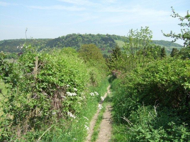
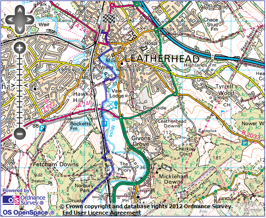
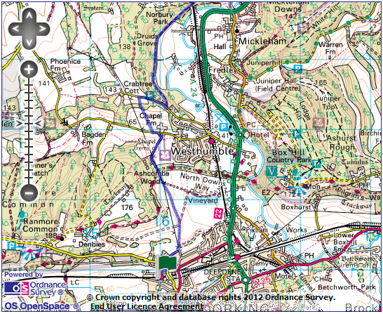
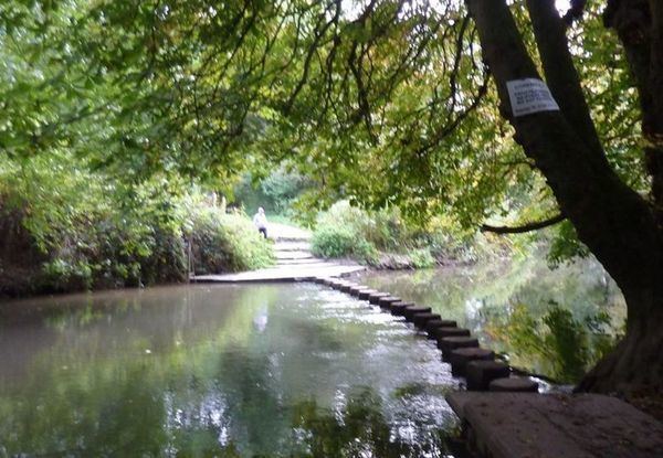
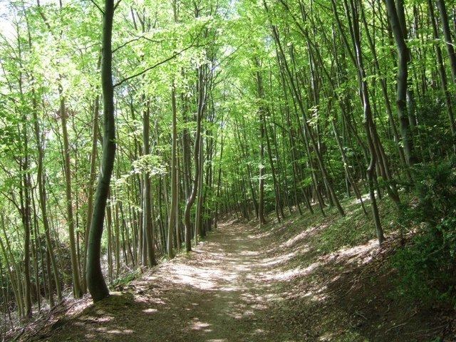
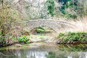
The Mole Gap Trail is a 10-kilometre (6.2 mi) official walking route alongside the River Mole, linking the Surrey towns of Dorking and Leatherhead. The trail is marked on Ordnance Survey maps. The trail runs through Norbury Park, the village of Westhumble and across Denbies Wine Estate.

Mole Gap Trail The Mole Gap Out of the LOOP

Mole Gap Trail Mole Gap Trail and Box Hill walk 20 August Adventure Go London

Mole Gap Trail Discover Dorking Mole Gap Trail

Mole Gap Trail Mole Gap Trail Pictures of Surrey yourlocalweb

Mole Gap Trail Explore Surrey Mole Gap Trail Walking Guide

References

Mole Gap Trail Wikipedia