
Local time Wednesday 9:00 PM | Region Normandy Area 4.65 km² | |
 | ||
Weather 10°C, Wind NE at 6 km/h, 80% Humidity | ||
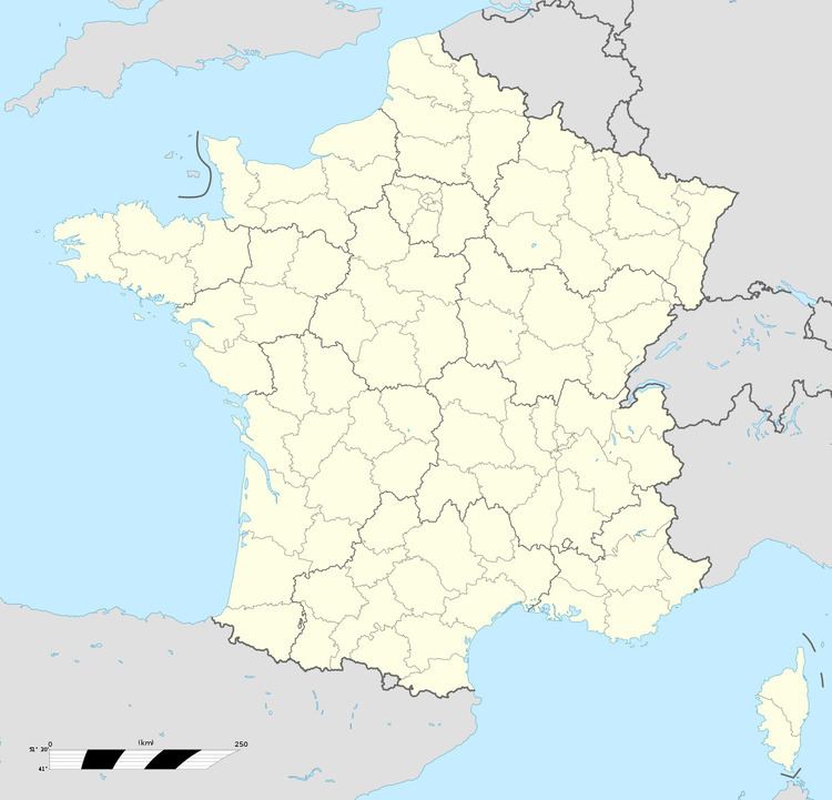
Molagnies is a commune in the Seine-Maritime department in the Haute-Normandie region in northern France.
Contents
Map of 76220 Molagnies, France
Geography
A small farming village situated by the banks of the Epte river in the Pays de Bray, some 31 miles (50 km) east of Rouen on the D57 road and at the border with the department of Oise.
Places of interest
References
Molagnies Wikipedia(Text) CC BY-SA