
From: Kahului Length 11.3 km | To: North Kihei Road | |
 | ||
Maui real estate agent howard dinits driving on the mokulele highway 31 video of hawaii
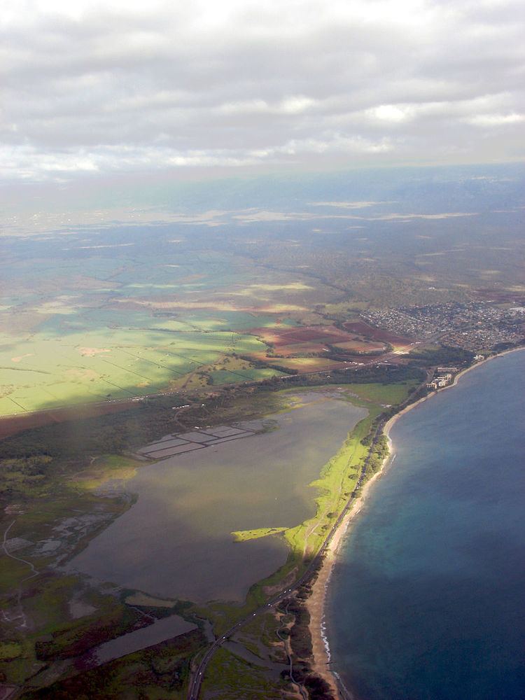
Mokulele Highway (designated as Route 311) is a highway on Maui that connects Kahului with Kihei, covering the distance of approximately 7 miles (11 km). Most of the highway cuts through the valley-like isthmus of Maui surrounded by sugarcane fields on both sides of the road.
Contents
- Maui real estate agent howard dinits driving on the mokulele highway 31 video of hawaii
- Map of Mokulele Hwy Hawaii USA
- References
Map of Mokulele Hwy, Hawaii, USA
Mokulele begins as a continuation of Puunene Road South, leaving Kahului. It then passes through what is known as the "Puunene" area of Maui, and continues as Mokulele, designated as Route 311 and 350 combined.
The Highway continues South from agricultural land and as it nears the Kealia Pond area, it intersects the Piilani Highway, ending shortly after at its junction with South Kihei Road, just to the north side of Kihei.
References
Mokulele Highway Wikipedia(Text) CC BY-SA