
 | ||
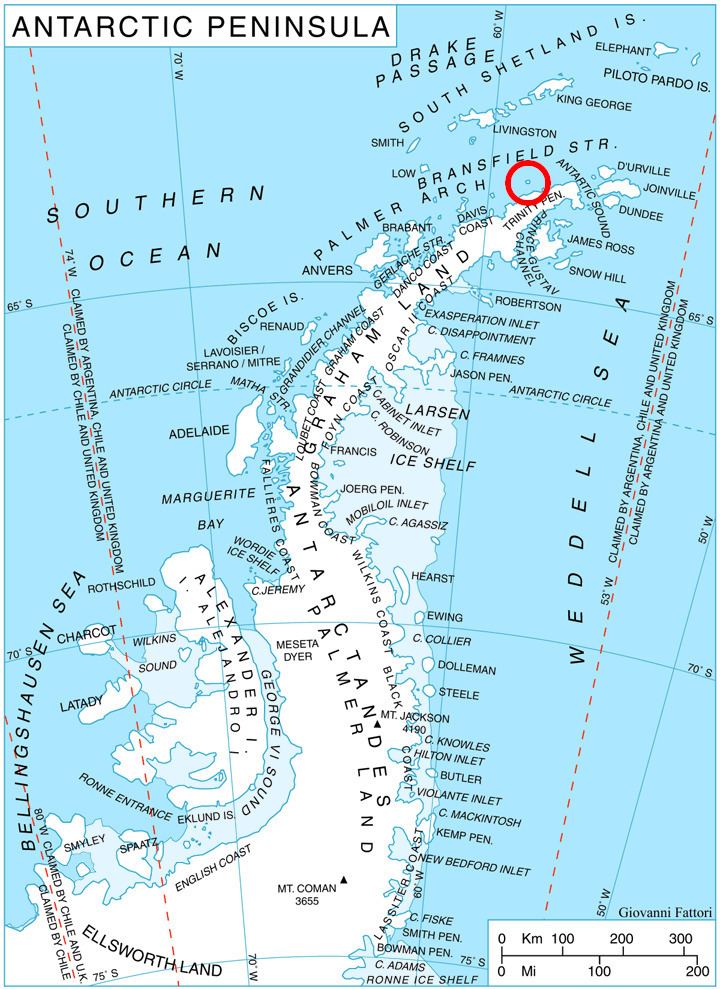
Mokren Bight (Bulgarian: залив Мокрен, ‘Zaliv Mokren’ \'za-liv 'mo-kren) is a 2 km wide embayment indenting for 850 m the west coast of Astrolabe Island in Bransfield Strait off Trinity Peninsula, Antarctica. Entered northwest of Gega Point and southeast of the small peninsula ending in Raduil Point to the north.
Contents
The bight is named after the settlement of Mokren in southeastern Bulgaria.
Location
Mokren Bight is located at 63°19′14″S 58°43′08″W. German-British mapping in 1996.
Maps
References
Mokren Bight Wikipedia(Text) CC BY-SA