
Population 193,171 (2011) | Time zone IST (UTC+05:30) Area 1,615 km² Local time Thursday 12:56 AM | |
 | ||
Weather 12°C, Wind SE at 3 km/h, 99% Humidity Neighborhoods Teachers' Colony, Mission Compound, Artang Ward, Alongmen Ward | ||
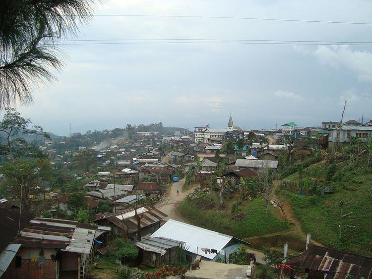
Mokokchung (Pron:/ˌməʊkɒkˈtʃʌŋ/) is a district of Nagaland state in India. The town of Mokokchung is its headquarters. It is the home of the Ao Naga tribe. It covers an area of 1,615 km². It is bounded by the state of Assam to its north, Wokha district to its west, Tuensang and Longleng district to its east, and Zunheboto district to its south.
Contents
- Map of Mokokchung Nagaland
- Geography
- Major mountain ranges
- Important urban centres
- Administrative towns
- Semi urban settlements
- Divisions
- Blocks
- Nagaland Legislative Assembly constituencies
- Industrial regions
- Demographics
- Education
- Media
- References
Map of Mokokchung, Nagaland
Geography
The physiography of the district shows six distinct hill ranges. The ranges are approximately parallel to each other and are aligned roughly north-east/south-west. The district lies between 94.29 and 94.76 degrees east longitude and 26.20 and 26.77 degrees north latitude. The entire district of Mokokchung is conveniently sub-divided into ranges. The main valleys are Tsurang, Changki and Milak Valleys. The district is agriculturally and industrially among the most progressive districts in the state, along with Dimapur and Kohima. Major agricultural regions are Changki-Longnak, Tsurang, Milak and Dikhu valley regions. Tuli-Milak region and Changki-Longnak valley are the major industrial areas.
Major mountain ranges
Important urban centres
Administrative towns
Semi-urban settlements
Divisions
The administrative headquarters of Mokokchung district is located at Mokokchung town and an Indian Administrative Service (IAS) Cadre, the Deputy Commissioner is the administrative head of the district. Mokokchung has three subdivisions: Tuli, Mangkolemba and Changtongya.
Politically, it is one of the most important districts in Nagaland. It sends 10 (of 60) legislators to the state assembly. Presently four of its legislators are in the ruling DAN government while the other six belong to Congress, the main opposition party in the state. Alichen-Mokokchung-DEF is the largest urban agglomeration area of the district.
Blocks
Nagaland Legislative Assembly constituencies
Industrial regions
Demographics
According to the 2011 census Mokokchung district has a population of 193,171, roughly equal to the nation of Samoa. This gives it a ranking of 591st in India (out of a total of 640). Mokokchung has a sex ratio of 927 females for every 1000 males, and a literacy rate of 92.68%.
Christianity is the predominant religion with 95% of its population being Baptist. The district was the first to embrace Christianity in the later part of the 19th century and continues to be the Main Baptist belt of India. Impur, the centre of Ao Baptist Arogo Mungdang (ABAM), i.e. Ao Baptist Churches Convention, and the largest convention affiliated with the Nagaland Baptist Churches Convention, is located at the heart of the district.
The Jungli Ao is the main language of the Aos followed by Mongsen Ao language and Changki language.
Education
District's literacy rate of 84.6% (2001 census) is the highest in the state and one of the highest in the entire country. The district has been declared a fully literate district in 2007, to become Nagaland's first 100 percent literate district. With 1004 females for every 1000 males, it has the 7th healthiest sex ratio among the 538 districts of India in the 0-6 age group population (2001 census).
Private schools in Mokokchung District:
Colleges in Mokokchung: