
ISO 3166 code MU-MO (Moka) Population 83,251 (2015) | Time zone MUT (UTC+4) Area 230.5 km² | |
 | ||
Colleges and Universities University of Mauritius, Charles Telfair Institute, Open University of Mauritius, Sir Seewoosagur Ramgool | ||
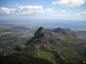
Moka is a district of Mauritius, situated in the central plateau of the island. The district has an area of 230.5 km2 and the population estimate was at 83,251 as of 31 December 2015.
Contents
Map of Moka District, Mauritius
Places
The Moka District include different regions; however, some regions are further divided into different suburbs. Note that the statistics do not take into account that Ripailles was created out of Nouvelle Découverte and that Pailes was absorbed by Port-Louis Municipal Council in 2011 following the new Local Government Act.
Education
French international schools:
References
Moka District Wikipedia(Text) CC BY-SA