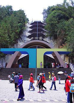
Postal code 654800 Area 5,312 km² Area code 0879 | GB/T 2260 CODE 530822 Website mojiang.gov.cn | |
 | ||
Time zone China Standard Time (UTC+8) | ||
Mojiang Hani Autonomous County (墨江哈尼族自治县; pinyin: Mòjiāng hānízú Zìzhìxiàn) is an autonomous county under the jurisdiction of Pu'er Prefecture, Yunnan Province, China.
Contents
Map of Mojiang, Pu'er, Yunnan, China
Demographics
There was a total of 210,628 ethnic Hani in Mojiang County as of 2006. Hani subgroups in Mojiang County include the following, with 2006 population estimates (Jiang, et al. 2009:3).
The Budu and Bukong are also found in Mojiang County.
According to the Mojiang County Almanac (2002:640), ethnic Bulang, who numbered 2,968 individuals as of 1993, are found in the townships of Jingxing 景星, Xinwu 新抚, and Tongguan 通关. The Bulang of Mojiang County speak Va, an Angkuic language.
In Mojiang County, ethnic Yao are found in Yaojia 瑶家 and Guangshan 光山 of Manxing Village 曼兴村, Wenwu Township 文武乡.
