
Time zone EET (UTC+2) Local time Wednesday 8:08 PM | Elevation 90 m (300 ft) | |
 | ||
Weather 11°C, Wind N at 13 km/h, 77% Humidity Points of interest Agiofarago beach, Beach Agiofaraggo, Martsalo beach, Makria Ammos Beach | ||
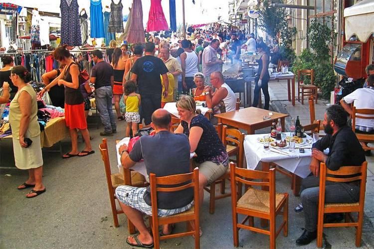
Moires (Greek: Μοίρες, "Fates") is a town and a former municipality in the Heraklion regional unit, Crete, Greece. Since the 2011 local government reform it is part of the municipality Faistos, of which it is a municipal unit. Population 11,434 (2011). The municipal unit has an area of 181.885 km2 (70.226 sq mi). The weekly market of the agricultural town of Moires is the largest in the region. In the early Middle Ages it was the home of Christian hermits, who allegedly met only once a year to worship at the chapel of Agios Andonis, built in the 14th or 15th century.
Contents
Map of Moires, Greece
Subdivisions
The municipal unit of Moires is divided into the following communities:
References
Moires Wikipedia(Text) CC BY-SA