Time zone IST (UTC+5:30) Area 5.18 km² Local time Wednesday 10:58 PM | Elevation 351 m Population 7,066 (2001) | |
 | ||
Weather 25°C, Wind NE at 6 km/h, 26% Humidity | ||
Mohpa is a city with a municipal council in Nagpur district in the Indian state of Maharashtra. Although physically located within Kalmeshwar taluka, it is not subject to taluka governance.
Contents
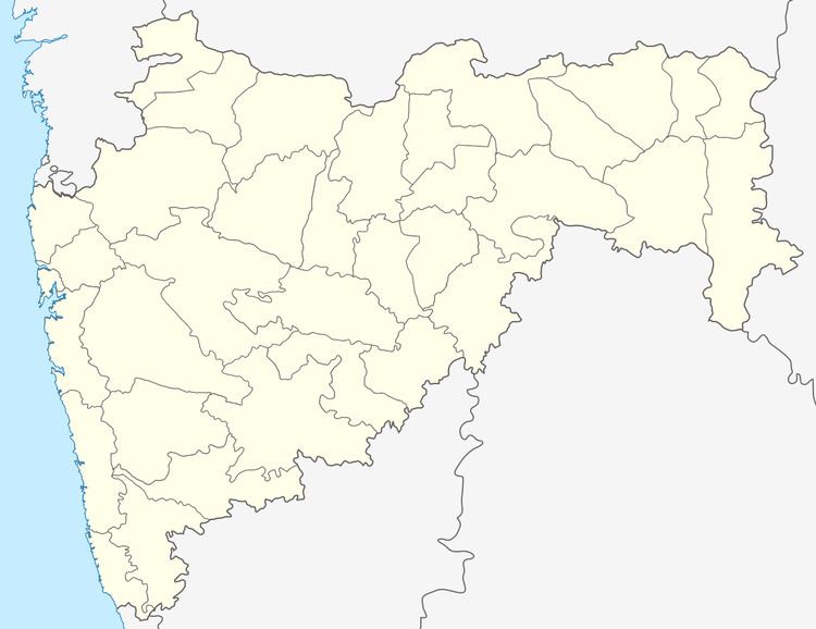
Map of Mohpa, Maharashtra 441502
Geography
Mohpa is located on a tributary of the Chandrabhaga River. It is 13 kilometres (8 mi) north-west of Kalmeshwar and 34 kilometres (21 mi) north-west of Nagpur. It has an average elevation of 351 metres (1151 feet).
History
Before 1955, Mohpa was a panchayat village, but it was given municipal status that year,
Demographics
As of 2001 India census, Mohpa had a population of 7,066. Males constituted 51% of the population and females 49%. Mohpa had an average literacy rate of 74%, higher than the national average of 59.5%: male literacy was 81%, and female literacy was 66%. In Mohpa, 11% of the population was under 6 years of age.
