
Peak Unnamed Length 30 mi (48 km) NW–SE Country United States of America | Elevation 2,776 ft (846 m) Width 5 mi (8.0 km) | |
 | ||
Similar Muggins Mountains, Tinajas Altas Mountains, Growler Mountains, Castle Dome Mountains, Granite Wash Mountains | ||
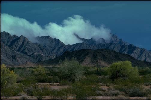
The Mohawk Mountains (Maricopa: Vii Kachkwiny) is a mountain range in the northwest Sonoran Desert of southwest Arizona. It abuts the western Gila River valley to the north (the Lower Gila River Valley), and is located in southern Yuma County. The Mohawk Valley lies adjacent and southwest of the range; the San Cristobal Valley is northeast.
Map of Mohawk Mountains, Arizona, USA
The Mohawk Mountains-Bryan Mountains is a northwest-southeast trending block faulted system. Mohawk, Arizona on Interstate 8 is located on the north end of the range; Mohawk Pass traverses the range with the interstate route.
The highest point in the Mohawk Range is unnamed at 2,776 feet (846 m).
References
Mohawk Mountains Wikipedia(Text) CC BY-SA