
Vehicle registration UP Elevation 164 m Population 5,299 (2001) | Time zone IST (UTC+5:30) Website up.gov.in Local time Wednesday 10:05 PM | |
 | ||
Weather 18°C, Wind W at 6 km/h, 46% Humidity | ||
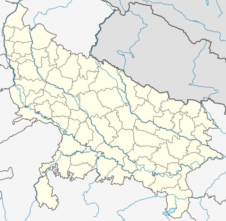
Mohanpur is a town and a nagar panchayat in Etah district in the Indian state of Uttar Pradesh.
Contents
Map of Mohanpur, Uttar Pradesh 242405
Geography
Mohanpur is located at 28.27°N 80.25°E / 28.27; 80.25. It has an average elevation of 164 metres (538 feet).
Demographics
As of 2001 India census, Mohanpur had a population of 5299. Males constitute 54% of the population and females 46%. Mohanpur has an average literacy rate of 48%, lower than the national average of 59.5%: male literacy is 57%, and female literacy is 37%. In Mohanpur, 20% of the population is under 6 years of age.
References
Mohanpur, Uttar Pradesh Wikipedia(Text) CC BY-SA