
 | ||
Mogilyane Peak (Bulgarian: връх Могиляне, ‘Vrah Mogilyane’ \'vr&h mo-'gi-lya-ne) is the rocky peak rising to 850 m in Erul Heights on Trinity Peninsula in Graham Land, Antarctica. It is surmounting Cugnot Ice Piedmont to the northeast.
Contents
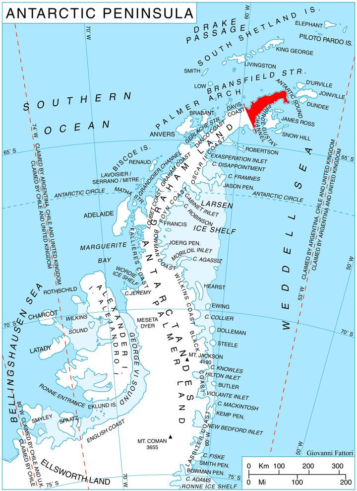
Map of Mogilyane Peak, Antarctica
The peak is named after the settlement of Mogilyane in Southern Bulgaria.
Location
Mogilyane Peak is located at 63°41′13″S 58°23′01″W, which is 1.92 km west-northwest of Coburg Peak, 1.83 km north of Lopyan Crag and 1.55 km east of Gigen Peak, 2.39 km southeast of Drenta Bluff on Louis-Philippe Plateau, and 4.23 km west-southwest of Chochoveni Nunatak. German-British mapping in 1996.
Maps
References
Mogilyane Peak Wikipedia(Text) CC BY-SA