
 | ||
Mogili is a small coastal village located in the Bangarupalem mandal (Revenue division) of Chittoor District, Andhra Pradesh in southern India.
Contents
Map of Mogili, Andhra Pradesh 517408
It is on the Palamaneru – Bangarupalem – Chittoor segment of the National Highway No. 4, which connects Mumbai on the west coast of India with Chennai city on the east coast. One has to travel 10 km from Palamaneru towards Chittoor to reach the village. Chittoor, the district headquarters, is at a distance of 25 km from the village.
Culture
Mogili has approximately 1,560 residents. Typical residences are constructed of dirt floors, mud walls, and thatch roofs. The primary ethnic group is Jayanthi, and the most commonly spoken language is Telugu.
Other uses
Mogili is also the name of a local aromatic flower. In India, there are myths and facts that the snakes are attracted to these mogili flowers.
Mogili in Telugu language means the flower 'Ketaki' in Sanskrit, and it is prohibited from use during the worship of Lord Shiva, as it gave false evidence in support of Lord Brahma.
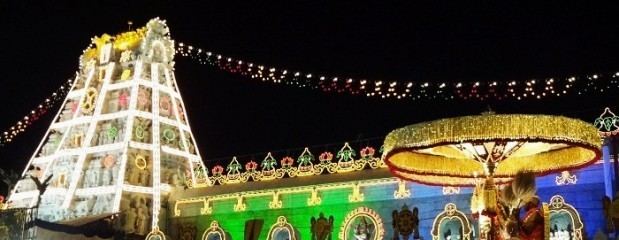
Places of worship
Mogileshwara temple is a Shiva temple located on Bangalore-Tripathi highway road. There is another lesser known Mogili Shiva temple located on top of the hill which can be viewed from the highway road. One has to trek to reach that hill temple.