
Country Algeria Time zone CET (UTC+1) Local time Wednesday 1:46 PM | Elevation 1,026 m (3,366 ft) Area 640 km² Population 635 (2008) | |
 | ||
Weather 18°C, Wind E at 6 km/h, 31% Humidity | ||
Mogheul (Arabic: ﻣﻮﻏﻞ) is a town and commune in Lahmar District, Béchar Province, in western Algeria near the border with Morocco. According to the 2008 census its population is 635, down from 682 in 1998, with an annual growth rate of -0.7%, the lowest in the province. The commune covers an area of 640 square kilometres (250 sq mi), making it the smallest by area in the province.
Contents
- Map of Mogheul Algeria
- Geography
- Climate
- Economy
- Infrastructure and housing
- Transportation
- Education
- Health
- Religion
- Localities
- References
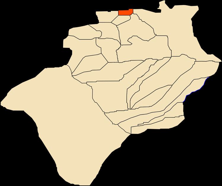
Map of Mogheul, Algeria
Geography
Mogheul lies at an elevation of 1,026 metres (3,366 ft) on a plateau crossed by ranges of rocky hills. Small ranges rising about 100 metres (330 ft) above the surrounds are found quite nearby the town to the north and south; higher ranges are found further to the northeast and further south.
Climate
Mogheul has a hot desert climate (Köppen climate classification BWh), with very hot summers and cool winters. Precipitation is generally light, although due to Mogheul's high altitude and latitude it does receive somewhat more rain than other locations in Béchar Province. Summers are particularly dry.
Economy
Agriculture is a significant industry in Mogheul. The commune has a total of 1,200 hectares (3,000 acres) of arable land, of which only 105 hectares (260 acres) is irrigated. There are a total of 22,200 date palms planted in the commune. As of 2009 there were 745 sheep, 555 goats, and 2 cattle.
Infrastructure and housing
100% of Mogheul's population is connected to drinking water, 100% is connected to the sewerage system, and 89% (including 179 buildings) have access to electricity. There are no fuel service stations in the town; the nearest is in Béchar.
Mogheul has a total of 257 houses, of which 114 are occupied, giving an occupation rate of 5.6 inhabitants per occupied building, the second lowest in the province (after Lahmar).
Transportation
A local road connects the town to Lahmar, 13 kilometres (8.1 mi) to the south, and then continues south to the provincial capital Béchar, 43 kilometres (27 mi) from Mogheul.
There is a total length of 39.4 kilometres (24.5 mi) of roads in the commune.
Education
There is one elementary school, with 6 classrooms including 4 in use. There are a total of 44 school students; secondary students study in Lahmar.
6.1% of the population has a tertiary education, and another 23.7% has competed secondary education. The overall literacy rate is 84.9%, and is 89.9% among males and 80.0% among females.
Health
Mogheul has a polyclinic, and a room care facility. The nearest hospital is in Béchar.
Religion
Mogheul has one operational mosque, with another one under construction.
Localities
The commune is composed of two localities:
El Menabha is about 5 kilometres (3.1 mi) west of Mogheul town, on the road to Lahmar.