
Country Burma Population 132,608 Local time Wednesday 7:03 PM | Township Mogaung Township Time zone MST (UTC+6.30) | |
 | ||
Weather 24°C, Wind N at 6 km/h, 53% Humidity | ||
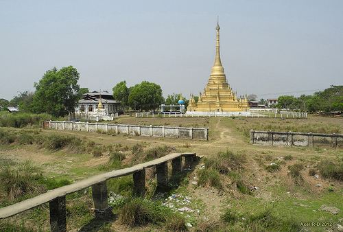
Mogaung (Burmese: မိုးကောင်း [móɡáʊɴ]; Shan: Mong Kawng) is a town in Kachin State, Myanmar. It is situated on the Mandalay-Myitkyina railway line.
Contents
Map of Mogaung, Myanmar (Burma)
History
Mogaung or Möngkawng was the name and capital (royal seat) of a relatively major one of the petty Shan (ethnic Tai) principalities. It was ruled by a saopha (Burmese: sawbwa; Shan-prince of the highest rank), since that state was founded (according to legend in 58BC, under the ritual name Udiri Pale), interrupted by Chinese imperial occupations in 1479-1483 and 1495-1495 and Burmese occupations in 1651-1742 and 1771-1775 until its annexation in 1796 by the Ava-based kingdom of Burma.
References
Mogaung Wikipedia(Text) CC BY-SA