
Length 229 km Basin area 7,040 km² Mouth elevation 0 | Discharge 437 m³/s | |
 | ||
- average 392 m/s (13,843 cu ft/s) Mouth Sea of Japan (also known as East Sea) | ||
The Mogami River (最上川, Mogami-gawa) is a river in Yamagata Prefecture, Japan.
Contents
Map of Mogami River, Japan
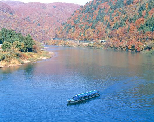
Mogami river boat ride
Description & History
It is 224 km long and has a watershed of 7,040 km². It is regarded as one of the three most rapid rivers of Japan (along with the Fuji River and the Kuma River).
The river rises from southern Yamagata Prefecture and flows to the north, and turns west at Shinjō and flows into the Sea of Japan at Sakata. Water transportation once flourished on the river and carried local products such as safflowers and rice to the Kansai region.
References
Mogami River Wikipedia(Text) CC BY-SA