
- elevation 1,060 m (3,478 ft) Basin area 19,195 km² | - elevation 634 m (2,080 ft) | |
 | ||
- location South of confluence with Dorps River - location | ||
The Mogalakwena River (Afrikaans: Magalakwenarivier) is one of the main watercourses in Limpopo Province, South Africa. It is also a major tributary of the Limpopo River.
Contents
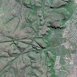
Map of Mogalakwena River, South Africa
Course
This river flows from the eastern side of the Waterberg Massif northeastwards through a wide flooded plain as the Nyl River. After about 80 km it starts bending northwards and its name changes to Mogalakwena. Then it flows across Limpopo Province until it joins the right bank of the Limpopo River at the South Africa/Botswana border.
The basin of the Mogalakwena is affected by a five-year rain cycle in which the river is virtually dry for five years, followed by another five years in which there is sufficient water flow. There are 8 dams in the Mogalakwena basin.
The highest concentration of hippopotamus in the Limpopo River is found between the Mokolo and the Mogalakwena Rivers.
Tributaries
The southernmost stretch of the Mogalakwena River is the Nyl River, known for its wide flood-plain, also known as the Nyl pan (Afrikaans: Nylsvlei). The flood-plain now the site of the Nylsvley Nature Reserve, which is one of the largest single ecosystems in South Africa for aquatic birds.
The Sterk, Mothlakole, Dorps, Rooisloot, Groot Sandsloot, Matlalane, Seepabana, Pholotsi and Thwathwe, are tributaries of the Mogalakwena.