
Country Thailand Postal code 45250 Area 180.6 km² Province Roi Et Province | Time zone ICT (UTC+7) Geocode 4515 Population 22,463 (2005) | |
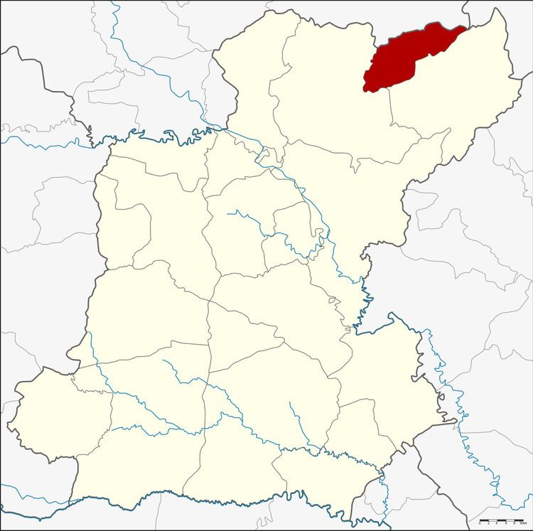 | ||
Moei Wadi (Thai: เมยวดี) is a district (amphoe) in the northern part of Roi Et Province, northeastern Thailand.
Contents
Map of Moei Wadi District, Roi Et, Thailand
Geography
Neighboring districts are (from the east clockwise) Nong Phok and Phon Thong of Roi Et Province, Kuchinarai of Kalasin Province and Nong Sung of Mukdahan Province.
History
The minor district (king amphoe) Moei Wadi was established on 1 April 1978, when the two tambon Moei Wadi and Chumphon were split off from Phon Thong District. It was upgraded to a full district on 3 November 1993.
Administration
The district is divided into four sub-districts (tambon), which are further subdivided into 43 villages (muban). There are no municipal (thesabans), and four tambon administrative organizations (TAO).
References
Moei Wadi District Wikipedia(Text) CC BY-SA