
District Krishna Time zone IST (UTC+5:30) Elevation 11 m Local time Wednesday 4:55 PM | PIN 521121 Area 13.76 km² Population 4,256 (2011) | |
 | ||
Weather 31°C, Wind SE at 14 km/h, 64% Humidity | ||
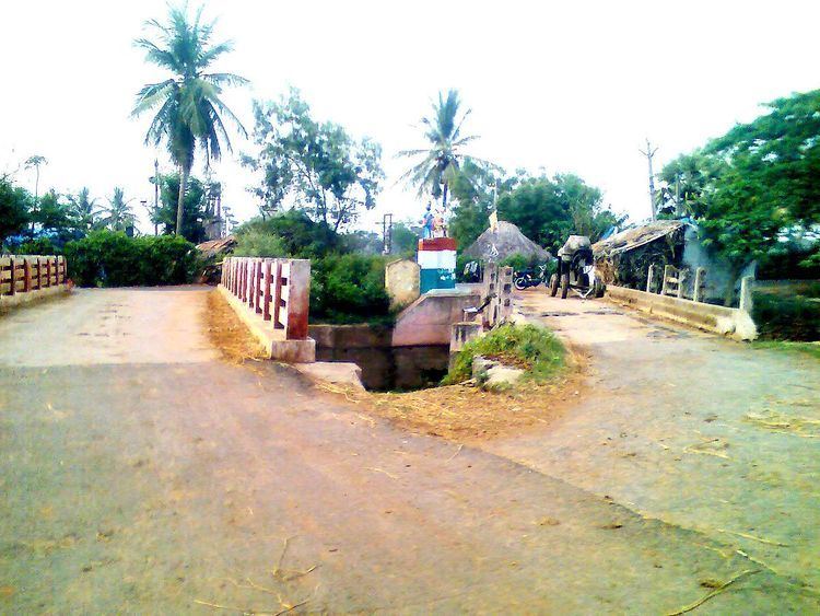
Modumudi is a village in the Krishna district of Indian state of Andhra Pradesh. It is located in Avanigadda mandal of Machilipatnam revenue division.
Contents
Map of Modumudi, Andhra Pradesh 521121
Demographics
As of 2011 Census of India, Modumudi had a population of 4256 with 2490 households. The total population constitute, 2127 males and 2129 females with a sex ratio of 1001 females per 1000 males. 340 children are in the age group of 0–6 years, with a sex ratio of 969 per 1000. Child population constitute 7.99% of the total population. The average literacy rate stands at 73.32%, significantly higher than the state average of 67.41%.
Transport
Modumudi is well connected by road. Auto services are available from Avanigadda APSRTC Bus Station to here. Distance is nearly 2 km from Avanigadda to here.
References
Modumudi Wikipedia(Text) CC BY-SA