
Area rank 236 in Norway Area 412 km² Population 372 (2014) | County Hordaland Administrative centre Modalen Demonym(s) Modøl Local time Wednesday 7:53 AM Administrative center Mo | |
 | ||
Weather -2°C, Wind W at 23 km/h, 81% Humidity | ||
Modalen is a municipality in the Nordhordland district in the northern part of Hordaland county in Norway. The administrative centre of the municipality is the village of Mo. The other main village in the municipality is Øvre Helland. Modalen is very sparsely populated, in fact, only the municipality of Utsira has less inhabitants. Most of the residents of Modalen live in the main Modalen valley which extends eastwards from the end of the Romarheimsfjorden.
Contents
- Map of Modalen Norway
- General information
- Name
- Coat of arms
- Churches
- Government
- Municipal council
- Geography
- References
Map of Modalen, Norway
The small population, combined with a large income from hydro-electric power production, has given the municipality the ability to give all its residents free wireless internet access in the municipality. They also were the first Norwegian municipality to buy a computer for all students in the municipality in 1993.
General information
The parish of Modalen was separated from the old municipality of Hosanger on 1 January 1910 to become a separate municipality. Initially, the municipality had 821 residents. On 1 January 1964, the middle part of the Eksingedalen valley (population: 151) was transferred from Modalen to the municipality of Vaksdal. Also on that date, the Nipo, Dyrkelbotn, and Eitrdalen farm areas (population: 12), located north of the village of Romarheim, was transferred from Modalen to the neighboring municipality of Lindås.
Name
The municipality (originally the parish) is named after the old Mo farm (Old Norse Mór), since Mo Church was built there in the Middle Ages. The name is identical with the word mór which means "heath" or "moor". The last element -dalen (the finite form of dal which means "valley" or "dale") was added later.
Coat-of-arms
The coat-of-arms is from modern times; they were granted on 2 November 1984. The arms are green with three silver spades. The spades are a symbol for the agriculture and sand digging in the municipality, which historically were of great importance.
Churches
The Church of Norway has one parish (sokn) within the municipality of Modalen. It is part of the Nordhordland deanery in the Diocese of Bjørgvin.
Government
All municipalities in Norway, including Modalen, are responsible for primary education (through 10th grade), outpatient health services, senior citizen services, unemployment and other social services, zoning, economic development, and municipal roads. The municipality is governed by a municipal council of elected representatives, which in turn elect a mayor.
Municipal council
The municipal council (Kommunestyre) of Modalen is made up of 13 representatives that are elected to every four years. Modalen is the only municipality in Norway that has a non-partisan council, so all representatives run on local lists rather than by party.
Geography
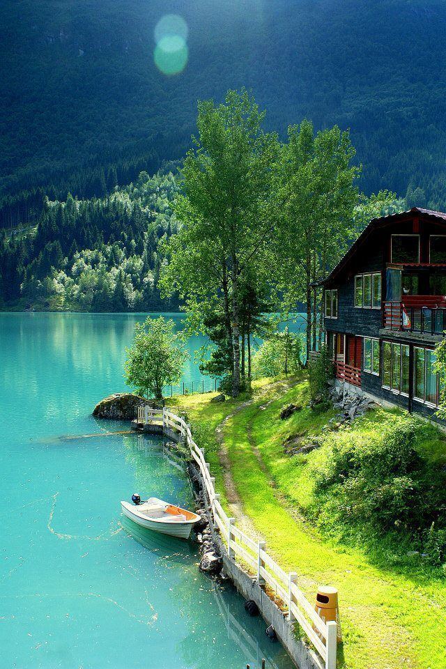
Modalen municipality sits in the northern part of Hordaland county. It surrounds the innermost part of the Romarheimsfjorden (which is also called the Mofjorden) and the Modalen valley which extends eastwards from the end of the fjord. Both sides of the valley are mountainous, so the municipality is quite isolated with only two roads connecting it to the outside world. Both roads were constructed fairly recently, before that time, the municipality was only accessible by boat or crossing mountains on foot. The Modalen Tunnel was built in 1976 and it connects this valley to the Eksingedalen valley to the south. The other road was built in the 1990s, and it follows the fjord heading west to Lindås.
The Modalen valley centers around the river Moelva. The lake Steinslandsvatnet, in the central part of the municipality, is the headwaters of the river. The high mountains that surround the valley provide many sources of hydroelectric power such as the lake Skjerjavatnet.
Modalen borders the municipality of Høyanger to the north and the municipality of Vik to the east (both in Sogn og Fjordane county), Vaksdal to the south, and Lindås and Masfjorden to the west.