
Area code(s) +53 24 Area 730 km² Local time Tuesday 11:22 PM | Time zone EST (UTC-5) Elevation 5 m Number of airports 1 | |
 | ||
Weather 24°C, Wind W at 3 km/h, 81% Humidity | ||
Electrificaci n de calentura en moa cuba
Moa is a municipality and an industrial city in the Holguín Province of Cuba. Its name is believed to mean "water here".
Contents
- Electrificaci n de calentura en moa cuba
- Map of Moa Cuba
- M v hollandia arrival in moa cuba
- Geography
- Environment
- Nickel Production
- Demographics
- References
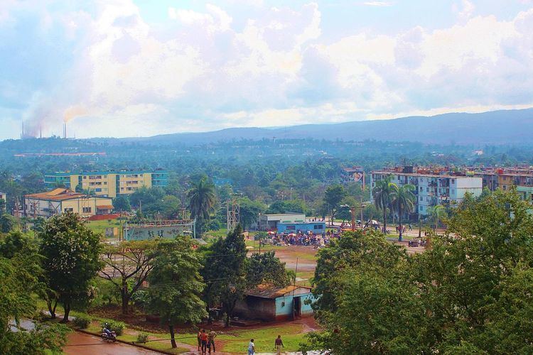
Map of Moa, Cuba
M v hollandia arrival in moa cuba
Geography
Located in the easternmost area of its province, at the borders with Guantánamo Province, Moa is bordered by the municipalities of Sagua de Tánamo, Frank País, Baracoa and Yateras.
Environment
Large nickel and cobalt deposits located in the Moa area are exploited in part by a joint venture with the Canadian company Sherritt International.
The extensive mining and nickel processing has large impact on the local environment. The coastal waters and nearby land is contaminated by the pollution from mines and processing plants.
Nickel Production
The nickel production is concentrated on the factories "Pedro Soto Alba" and "Ernesto Che Guevara", of Moa, in territory of Holguín in the Oriente of Cuba. While the Nickel Processor Plant "Pedro Soto Alba" is a limited liability company between Cuba and Sherrit International Canadian Company, the "Ernesto Che Guevara" belong to the government enterprise Cubaníquel. As average per year, The "Soto Alba" and "Che Guevara" produces more than 30.000 tons of nickel each one.
Demographics
In 2010, the municipality of Moa had a population of 75,015. With a total area of 730 km2 (280 sq mi), it has a population density of 97.4/km2 (252/sq mi).