
 | ||
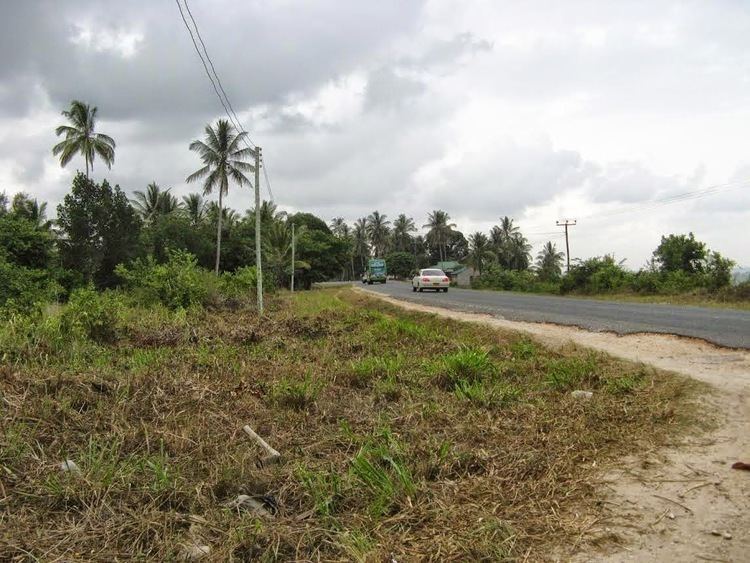
Farm preparation using indigenous skills mkuranga district tanzania
Mkuranga is one of the 6 districts of the Pwani Region of Tanzania. It is bordered to the north by Dar es Salaam, to the east by the Indian Ocean, to the south by the Rufiji District, and to the west by the Kisarawe District.
Contents
- Farm preparation using indigenous skills mkuranga district tanzania
- Map of Mkuranga Tanzania
- Wards
- References
Map of Mkuranga, Tanzania
According to the 2002 Tanzania National Census, the population of the Mkuranga District was 187,428. [1]
Wards
The Mkuranga District is administratively divided into 18 wards:
References
Mkuranga District Wikipedia(Text) CC BY-SA