
County Franklin ZIP code 47010 Elevation 305 m | State Indiana Township Bath FIPS code 18-50004 Local time Tuesday 7:12 PM | |
 | ||
Weather -4°C, Wind NW at 23 km/h, 60% Humidity | ||
Mixersville is an unincorporated community in Bath Township, Franklin County, Indiana.
Contents
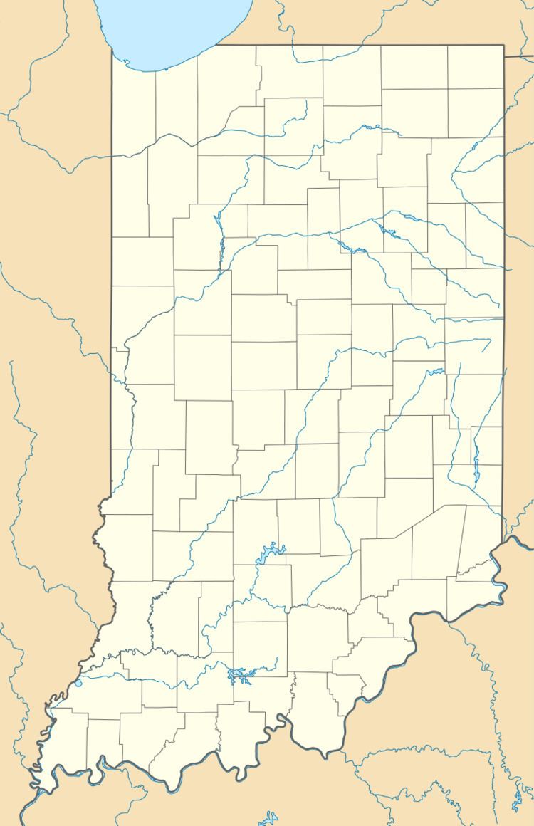
Map of Mixersville, IN 47010, USA
History
Mixersville was platted in 1846 by William Mixer, and named for him. A post office was established at Mixersville in 1851, and remained in operation until it was discontinued in 1903.
Geography
Mixersville is located at 39°29′18″N 84°49′30″W.
References
Mixersville, Indiana Wikipedia(Text) CC BY-SA