
Elevation 1,160 m Local time Wednesday 1:23 AM | Time zone EAST (UTC+3) Urban area 20.72 km² | |
 | ||
Weather 19°C, Wind S at 5 km/h, 92% Humidity | ||
God did amazing things in uganda places called mityana and kampala
Mityana, is a town in the Central Region of Uganda. It is the main municipal, administrative, and commercial center of Mityana District, and the district headquarters are located there.
Contents
- God did amazing things in uganda places called mityana and kampala
- Map of Mityana Uganda
- Location
- Overview
- Population
- Points of interest
- Photos
- References
Map of Mityana, Uganda
Location
Mityana is approximately 77 kilometres (48 mi), by road, west of Kampala, Uganda's capital and largest city. The town is about halfway between Kampala and Mubende on an all-weather tarmac highway that links Uganda's capital with the town of Fort Portal in the Western Region. The coordinates of Mityana are 0°24'02.0"N, 32°02'32.0"E (Latitude:0.400556; Longitude:32.042222). The average elevation of the town is about 1,209 metres (3,967 ft) above sea level.
Overview
Mityana town covers an area of 21 square kilometres (8.1 sq mi). The topography consists of gentle slopes with open, U-shaped valleys. The plateau landscape is advantageous to real estate developers because they do not incur many expenses for clearance of building sites. In 2014, the town was added to the list of urban centers serviced by the National Water and Sewerage Corporation.
Population
In 2002, the national census estimated the population of Mityana town to be 34,100. In 2010, the Uganda Bureau of Statistics (UBOS) estimated the population at 38,700. In 2011, UBOS estimated the mid-year population at 39,300. In August 2014, the national population census put the population at 48,002.
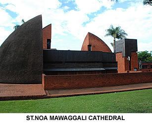
Points of interest
The following points of interest are located near or within the town limits: