
District Cuxhaven Elevation 15 m (49 ft) Area 33.68 km² Local time Tuesday 11:05 PM | Municipal assoc. Börde Lamstedt Time zone CET/CEST (UTC+1/+2) Population 631 (31 Dec 2008) Postal code 21770 | |
 | ||
Weather 9°C, Wind W at 26 km/h, 91% Humidity | ||
Mittelstenahe is a municipality in the district of Cuxhaven, in Lower Saxony, Germany.
Contents
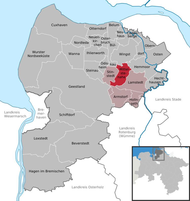
Map of Mittelstenahe, Germany
History
Mittelstenahe belonged to the Prince-Archbishopric of Bremen, established in 1180. The farmers were tithing to the Himmelpforten Convent, secularised in 1647. In 1648 the Prince-Archbishopric was transformed into the Duchy of Bremen, which was first ruled in personal union by the Swedish Crown - interrupted by a Danish occupation (1712-1715) - and from 1715 on by the Hanoverian Crown.
After a Prussian and then French occupation from 1806 to 1810, the ephemeric Kingdom of Westphalia annexed the Duchy, before France annexed it with effect of 1 January 1811. In 1813 the Duchy was restored to the Electorate of Hanover, which - after its upgrade to the Kingdom of Hanover in 1814 - incorporated the Duchy in a real union and the Ducal territory, including Mittelstenahe, became part of the new Stade Region, established in 1823.