
Local time Wednesday 8:45 AM | Elevation 303 m | |
 | ||
Location 21 km (13 mi) from Nangus30 km (19 mi) from Bethungra Weather 22°C, Wind E at 24 km/h, 65% Humidity | ||
Mitta Mitta is a farming community in the north eastern part of the Riverina. It is situated by road, about 30 kilometres south from Bethungra and 21 kilometres north east from Nangus.
Map of Mitta Mitta, NSW 2663, Australia
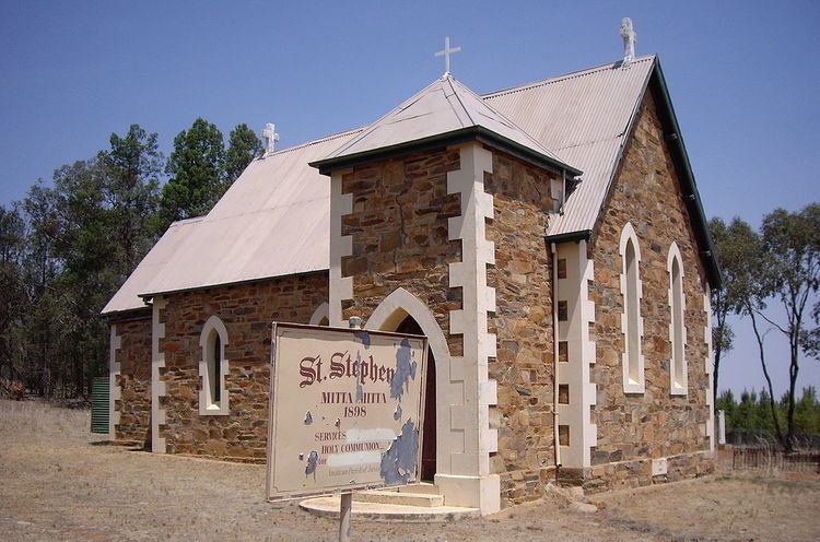
Mitta Mitta is locatable only by finding the old St Stephen's Anglican Church situated 8 kilometres along a corrugated dirt road that runs west from the Nangus to Bethungra road.
The place name Mitta Mitta is derived from the local Aboriginal word meaning "Little Waters".
Mitta Mitta Post Office opened on 1 January 1888, was reduced to a Telephone Office in 1931 and closed in 1936.
References
Mitta Mitta, New South Wales Wikipedia(Text) CC BY-SA