
Population 410 (2011 census) Postal code 2722 | Postcode(s) 2722 Elevation 220 m Local time Tuesday 2:09 AM | |
 | ||
Location 20 km (12 mi) from Gundagai21 km (13 mi) from Mitta Mitta58 km (36 mi) from Wagga Wagga397 km (247 mi) from Sydney Weather 22°C, Wind E at 8 km/h, 83% Humidity | ||
Nangus is a village on the Wagga Wagga to Gundagai Road on the north side of the Murrumbidgee River. From Nangus, Junee, Gundagai, Wantabadgery, Oura and Wagga Wagga are accessible. Nangus is approximately 24 kilometres (15 mi) due west of Gundagai in the Riverina area of Australia and in Gundagai Council. At the 2011 census, Nangus and the surrounding area had a population of 410. The nearby Nangus Station and Yabtree Station are heritage listed.
Map of Nangus NSW 2722, Australia
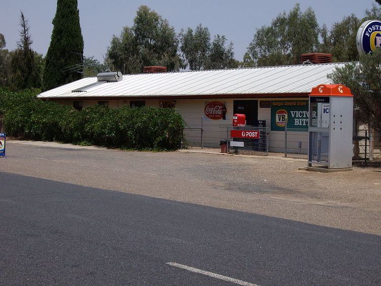
Nangus Post Office opened on 1 July 1897.
Nangus has a post office, Anglican church, general store, with an off-site liquor licence, public school, public hall, fire station, petrol station, tennis courts, and hockey fields amongst some of its services and attractions.
References
Nangus, New South Wales Wikipedia(Text) CC BY-SA