
Country Bangladesh District Kishoreganj District Area 222.9 km² | Division Dhaka Division Time zone BST (UTC+6) | |
 | ||
Website Official Map of Mithamain | ||
Mithamain (Bengali: মিটামইন) is an Upazila of Kishoreganj District in the Division of Dhaka, Bangladesh.
Contents
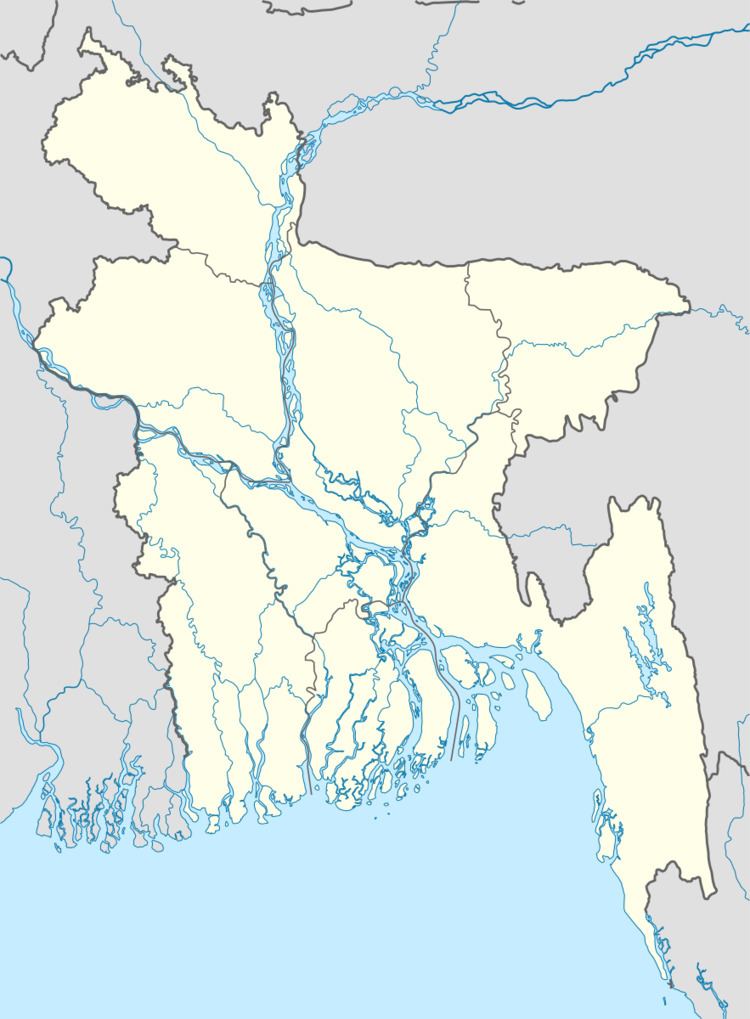
Map of Mithamain, Bangladesh
Geography
Mithamain is located at 24.4250°N 91.0458°E / 24.4250; 91.0458. Mithamain has 17,183 households and a total land area of 222.92 km².
Demographics
As of the 1991 Bangladesh census, Mithamain's population is 108,204. The population's male to female ratio is 51.79% to 48.21%. 49,034 of Upazila's population is aged 18 or above. Mithamain has an average literacy rate of 15.6% (7+ years). The literary rate nationally is 32.4%.
Administration
Mithamain has 6 Unions/Wards, 59 Mauzas/Mahallas and 129 villages.
References
Mithamain Upazila Wikipedia(Text) CC BY-SA