
Length 224.5 km | ||
 | ||
Counties Humphreys County, Mississippi | ||
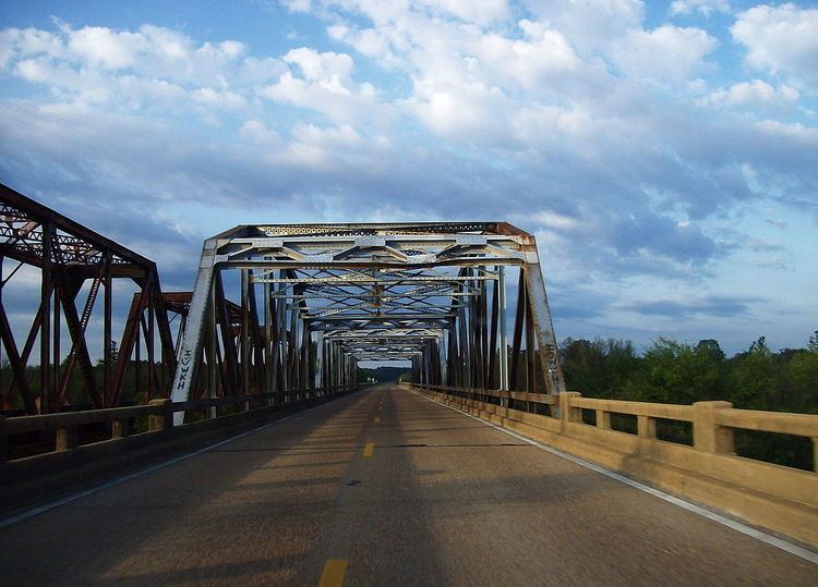
Mississippi Highway 7 runs generally north–south from the Tennessee state line in Benton County to Belzoni, Mississippi. It travels approximately 165 miles (266 km), serving Humphreys, Leflore, Carroll, Grenada, Yalobusha, Lafayette, Marshall, and Benton Counties. It runs nearly parallel to the rarely used Mississippi Central Railroad.
Contents
Map of MS-7, Mississippi, USA
Points of interest
Locales on route
From north to south
References
Mississippi Highway 7 Wikipedia(Text) CC BY-SA