
Country United States County Pine Time zone Central (CST) (UTC-6) Elevation 305 m | State Minnesota ZIP code 55037 and 55007 Local time Tuesday 7:11 AM | |
 | ||
Weather -18°C, Wind S at 0 km/h, 93% Humidity | ||
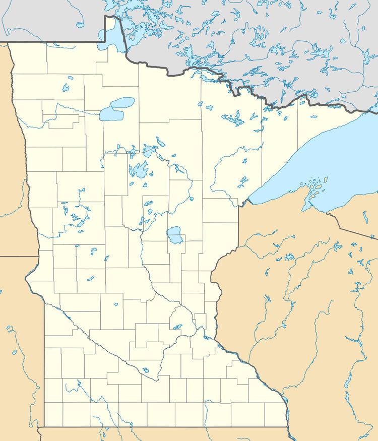
Mission Creek is an unincorporated community in Mission Creek Township, Pine County, Minnesota, United States.
Map of Mission Creek, MN 55037, USA
The community is located between Hinckley and Beroun along Pine County 61.
The center of Mission Creek is generally considered at the junction of Pine County 61 with Tie Road, and Railroad Lane; located in the northern portion of Mission Creek Township (population 635). Mission Creek flows through the area.
Nearby places include Hinckley, Beroun, and Brook Park. Mission Creek is located 3 miles south of Hinckley, and 5 miles north of Beroun. Mission Creek is 6 miles east–northeast of Brook Park.
Also nearby is the junction of Interstate 35, State Highway 23 (MN 23), and Pine County 61; just south of Hinckley at the Mora exit.
ZIP codes 55037 (Hinckley) and 55007 (Brook Park) meet near Mission Creek.