
 | ||
Mishev Peak (Bulgarian: Мишев връх, ‘Mishev Vrah’ \'mi-shev 'vr&h) is the mostly ice-covered peak rising to 600 m in Brugmann Mountains on Liège Island in the Palmer Archipelago, Antarctica. It has precipitous and partly ice-free southwest slopes, and surmounts Zbelsurd Glacier to the north and Pleystor Glacier to the south.
Contents
Map of Mishev Peak, Antarctica
The feature is named after Emil Mishev, geologist at St. Kliment Ohridski base in 2004/05 and subsequent seasons, and base commander during part of the 2006/07 season.
Location
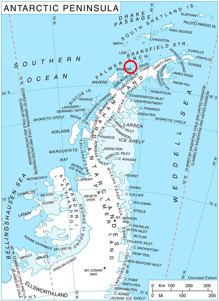
Mishev Peak is located at 64°02′33″S 62°00′04″W, which is 1.42 km west of Pavlov Peak, 2.34 km east by north of Polezhan Point and 1.93 km east-southeast of Disilitsa Point. British mapping in 1980.
Maps
References
Mishev Peak Wikipedia(Text) CC BY-SA