Website Official Map of Mirpur | Time zone BST (UTC+6) Area 317.4 km² | |
 | ||
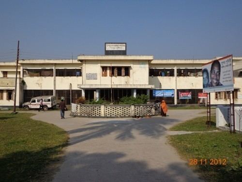
Mirpur (Bengali: মিরপুর (কুষ্টিয়া)) is an Upazila of Kushtia District in the Division of Khulna, Bangladesh.
Contents
Map of Mirpur Upazila, Bangladesh
History
The former Mirpur Thana, which was formed in 1885, became an upazila on 1 August 1983.
Geography
Mirpur is located at 23.9333°N 89.0000°E / 23.9333; 89.0000. It has 48,215 households and a total area of 317.35 km².
Demographics
At the 1991 Bangladesh census, Mirpur had a population of 266,046. Males constitute 51.76% of the population, and females 48.24%. The population aged 18 or over is 136,611. Mirpur has an average literacy rate of 21.3% (7+ years), compared to the national average of 32.4%.
Administration
Mirpur has 12 Unions/Wards, 122 Mauzas/Mahallas, and 187 villages.
References
Mirpur Upazila Wikipedia(Text) CC BY-SA
