
Country United States Area 144 ha Area code Area code 612 | Time zone CST (UTC-6) Zip code 55417 Population 3,980 (2010) | |
 | ||
Restaurants Al Vento, Town Hall Lanes, Sassy Spoon, Cap's Grille, 3 Tiers Bakery Bistro | ||
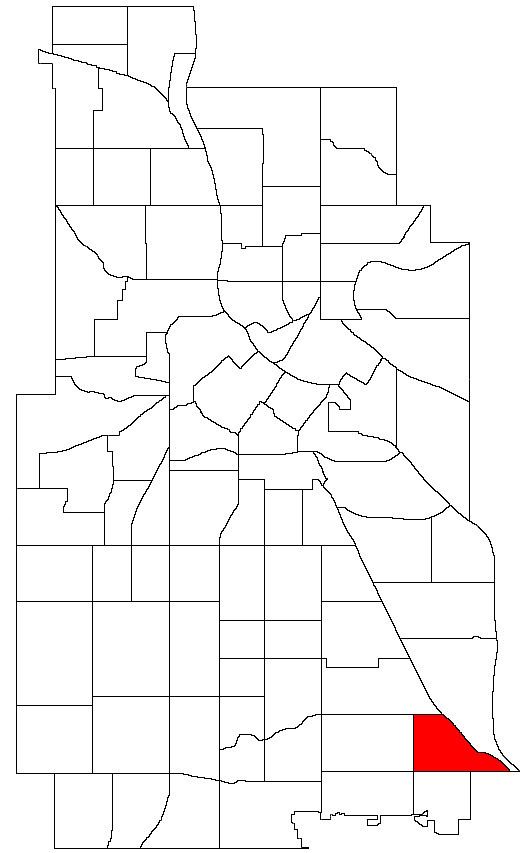
Minnehaha is a neighborhood in the Nokomis community in Minneapolis, Minnesota. Its boundaries are Minnehaha Parkway to the north, Hiawatha Avenue to the east, 54th Street to the south, and 34th Avenue to the west. It shares a neighborhood organization with the Keewaydin, Morris Park, and Wenonah neighborhoods, which are collectively referred to as Nokomis East and served by the Nokomis East Neighborhood Association (NENA).
Map of Minnehaha, Minneapolis, MN 55417, USA
The 50th Street/Minnehaha Park station of the METRO Blue Line is located in Minnehaha.
References
Minnehaha, Minneapolis Wikipedia(Text) CC BY-SA