
Time zone MST (UTC6:30) Elevation 9.14 m Postal code 11021 Area code 1 | Township Mingaladon Postal codes 11021 Area 106.6 km² Local time Monday 7:47 AM Number of airports 1 | |
 | ||
Weather 25°C, Wind W at 11 km/h, 89% Humidity | ||
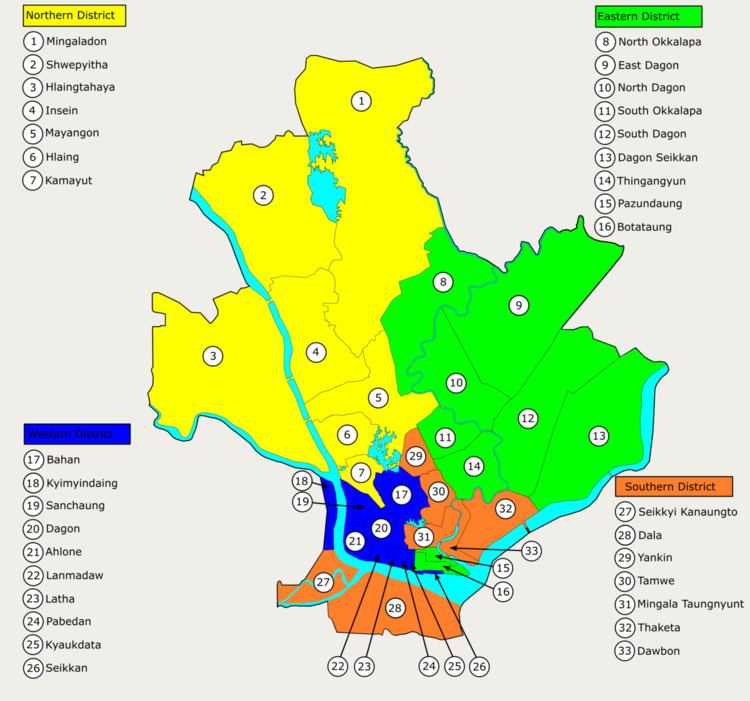
Mingaladon Township (Burmese: မင်္ဂလာဒုံ မြို့နယ် [mɪ̀ɴɡəlàdóʊɴ mjo̰nɛ̀]) is located in the northernmost part of Yangon, Myanmar. The township comprises 31 wards, and shares borders with Hmawbi Township in the north, North Okkalapa Township in the east, Insein Township and Shwepyitha Township in the west, and Mayangon Township in the south. Mingaladon is still relatively undeveloped and lacks basic municipal services.
Contents
Map of Mingaladon Twp, Yangon, Myanmar (Burma)
Mingaladon is home to the Yangon International Airport and the Hlawga National Park
Etymology
The Burmese place name Mingaladon (မင်္ဂလာဒုံ) is a portmanteau of two words: Pali mangala ("blessed") and Mon ဍုၚ် ([dɜŋ], "town").
Transport
Mingaladon's Aung Mingala Bus Terminal serves all the highway buses to all major cities and towns in the country, except for those in the Ayeyarwady Division.
Education
The University of Computer Studies, Yangon, one of the country's best universities, is located in the western part of the township on the west bank of Hlawga National Park. The township is also home to the Defence Services Institute of Nursing and Paramedical Science.