
County Minfeng Postal code 848500 Elevation 1,405 m | Time zone China Standard (UTC+8) Website hts.gov.cn Local time Monday 9:04 AM | |
 | ||
Country People's Republic of China Weather -1°C, Wind E at 8 km/h, 57% Humidity | ||
Niya (Chinese: 泥雅; pinyin: Níyǎ, Uighur:نىيە, Нийә), is a town in Minfeng County, Xinjiang Uygur Autonomous Region, China.
Contents
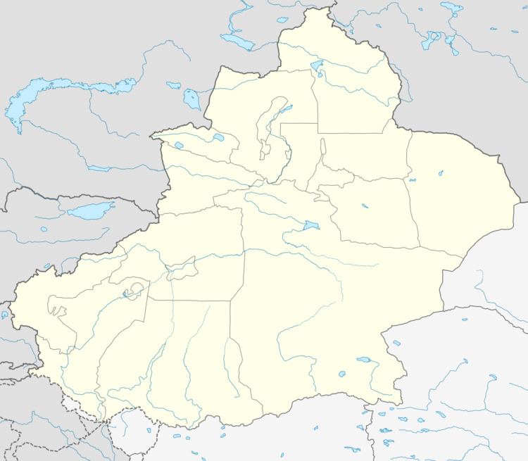
Map of Niyazhen, Niya, Hotan, Xinjiang, China
It is the county seat of Minfeng County, and therefore is commonly referred to as Minfeng, and is labeled so on less detailed maps. An ancient town also called Niya is located 115 km to the north of this modern Niya.
Geography
Niya is located on China National Highway 315, which is the main Ruoqiang-Hotan road along the southern edge of the Tarim Basin.
It is situated 120 km east of Keriya, and about 330 km west of Qiemo (Cherchen). Human habitation in the area is possible because of the Niya River, fed by the snows and glaciers of the Kunlun.
Niya is a small town of about 10,000 people with a small market, shops, many restaurants, and a hotel.
History
Niya/Minfeng was known in ancient time as Ronglu (戎盧) during the Han dynasties (206 BC - 222 AD) and, according to the Hanshu Chapter 96A, was said to have had "240 households, 610 individuals with 300 persons able to bear arms" during the Former Han Dynasty (206 BC - 23 AD). It is situated about 115 km north of the modern town of Minfeng. Numerous Buddhist scriptures, sculptures, mummies and other precious archeological finds have been made in the region. The remains of more than seventy buildings have been discovered scattered over an area of some 45 km2. It was located on the southern branch of the Silk Road.