
County Tehama ZIP codes 96061, 96063 Elevation 1,499 m Population 123 (1 Apr 2010) | FIPS code 06-47794 Area 115.2 km² Area code Area code 530 | |
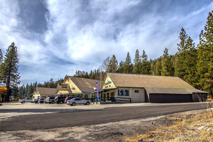 | ||
Mineral is a census-designated place (CDP) in Tehama County, California, United States. The population was 123 at the 2010 census, down from 143 at the 2000 census.
Contents
Map of Mineral, CA, USA
Geography
Mineral is located at 40°21′20″N 121°34′2″W (40.355686, -121.567333).
According to the United States Census Bureau, the CDP has a total area of 44.5 square miles (115 km2), of which, 44.4 square miles (115 km2) of it is land and 0.1 square miles (0.26 km2) of it (0.25%) is water.
Climate
This region experiences warm (but not hot) and dry summers, with no average monthly temperatures above 71.6 °F. According to the Köppen Climate Classification system, Mineral has a warm-summer Mediterranean climate, abbreviated "Csb" on climate maps.
References
Mineral, California Wikipedia(Text) CC BY-SA