OS grid reference NT845325 Post town MINDRUM Local time Sunday 11:32 PM | Sovereign state United Kingdom Postcode district TD12 Dialling code 01890 | |
 | ||
Weather 4°C, Wind SW at 11 km/h, 89% Humidity | ||
Mindrum is a village in Northumberland, England, in the district of Berwick-upon-Tweed. Now little more than a postal address, It forms the centre of a number of farms.
Contents
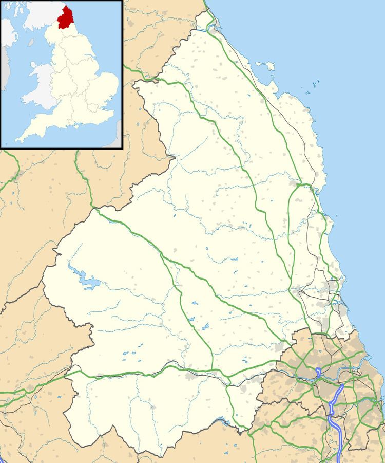
Map of Mindrum, UK
Mindrum is located on the North West Foothills of the Cheviot Hills on the Bowmont Water, one of the Tributaries of the River Tweed. Whilst the term Mountain may be optimistic, the village is flanked by a clear ridge running from Camp Hill to the Mindrum Mill Crag on its North West Flank.
The name Mindrum, is thought to be of Cumbric origin. It can be explained as a compound of the words equivalent to Welsh mynydd, 'mountain' and drum, 'ridge'. Mindrum appears to have the same etymology as Mynydd y Drum. Whilst the term 'mountain' may be optimistic, the village is flanked by a clear ridge running from Camp Hill to the Mindrum Mill Crag on its North West Flank.
