
Area code(s) +53-82 Area 858 km² Population 34,419 (2004) | Time zone EST (UTC-5) Elevation 115 m Local time Sunday 5:53 PM | |
 | ||
Weather 25°C, Wind N at 10 km/h, 65% Humidity | ||
Minas de Matahambre ([minas ðe mataˈambɾe]) is a municipality and town in the Pinar del Río Province of Cuba. It was declared a National Monument of Cuba.
Contents
Map of Minas de Matahambre, Cuba
Geography
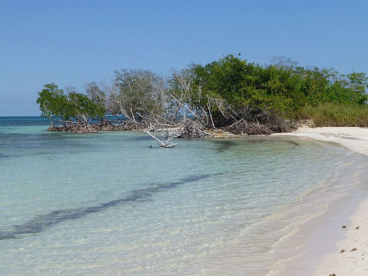
The municipality faces the Gulf of Mexico to the north, where the cays of the Colorados Archipelago are developed off-shore. It is bordered by the municipalities of Mantua, Guane, San Juan y Martínez and Viñales.
Demographics
In 2004, the municipality of Minas de Matahambre had a population of 34,419. With a total area of 858 km2 (331 sq mi), it has a population density of 40.1/km2 (104/sq mi).
Culture
The Minas de Matahambre Municipal Museum holds objects and photography collections of local history.
References
Minas de Matahambre Wikipedia(Text) CC BY-SA