
Country Japan - Flower Narcissus Population 18,805 (May 2015) Prefecture Aichi Prefecture | District Chita Area 38.37 km² Local time Monday 6:31 AM | |
 | ||
Region Chūbu region
Tōkai region Time zone Japan Standard Time (UTC+9) - Tree Quercus phillyraeoides (species of Oak) Weather 5°C, Wind NE at 3 km/h, 89% Humidity | ||
Minamichita (南知多町, Minamichita-chō) is a town in Chita District, Aichi Prefecture, Japan. As of 2015, the town had an estimated population of 18,805 and a population density of 490 persons per km². The total area was 38.37 square kilometres (14.81 sq mi).
Contents
- Map of Minamichita Chita District Aichi Prefecture Japan
- Geography
- Neighboring municipalities
- History
- Economy
- Education
- Railway
- Highways
- Seaports
- Local attractions
- References
Map of Minamichita, Chita District, Aichi Prefecture, Japan
Geography
Minamichita is located in the extreme southern tip of Chita Peninsula in southern Aichi Prefecture, including a number of islands in Mikawa Bay. The town is bordered by Mikawa Bay to the east, and Ise Bay to the west. Part of the town’s area are within the borders of the Mikawa Wan Quasi-National Park.
Neighboring municipalities
History
The town of Minamichita was established on June 1, 1961 through the merger of the towns of Utsumi, Mihama, and Morozaki, and the villages of Shinojima and Himakajima, all within Chita District. During March 2006, discussions were held to merge Minamichita with the town of Mihama to the north to form the new city of “Minamicentrair” after the popular nickname for Chūbu Centrair International Airport, but the merger proposal was strongly opposed by the majority of the inhabitants of Minamichita, and the merger did not take place.
Economy
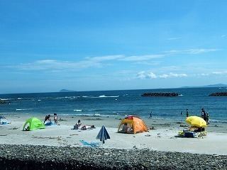
Primary industry dominates the economy of Minamichita, notably commercial fishing and agriculture. Secondary industries include food processing, and seasonal tourism to beach resorts.
Education
Minamichita has six elementary schools, five middle schools and one high school.