
Type Road | Route number(s) State Route 32 Length 3.2 km | |
 | ||
NE end Petrie Terrace in Brisbane City | ||
Rasta rell milton road anthem
Milton Road is an arterial road in Brisbane, Australia. It is currently signed as State Route 32 for its entire length.
Contents
- Rasta rell milton road anthem
- Map of Milton Rd Queensland Australia
- Milton road in the hood clips dvd clip1
- References
Map of Milton Rd, Queensland, Australia
Milton Road is a major corridor for traffic between the Brisbane central business district and the western suburbs. It carried an average of 50,954 vehicles per day between July and December 2014.
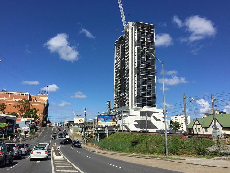
Milton Road's western end is at the northern terminus of the Western Freeway at the base of Mount Coot-tha in the suburb of Toowong and progresses in a north-easterly direction through the suburbs of Auchenflower and Milton before terminating at Petrie Terrace in Brisbane City. 250 metres west of Petrie Terrace is an interchange with the Hale Street expressway which allows access to and from the Inner City Bypass. Milton Road closely parallels the Ipswich railway line.
Attractions along Milton Road include the XXXX Brewery and Lang Park stadium, both in Milton.
The Toowong tram line ran along the entire length of Milton Road until 1962, when the Paddington tram depot fire compelled the closure of several tram lines. Part of the line was kept open to carry spectators to and from tennis matches at Frew Park in Milton for a short while after regular services ceased.